Žďárské Vrchy: Highland Routes and Mountain Trails
Explore elevated terrain with panoramic views, diverse ecosystems, and well-marked hiking routes across this protected highland landscape in central Czech Republic.

Understanding the Highland Landscape
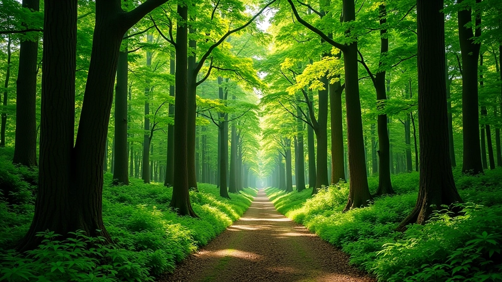
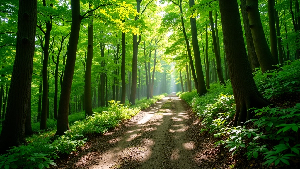
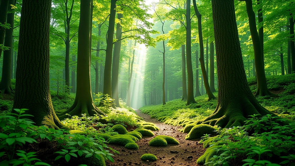
Žďárské Vrchy stands out as one of central Europe's most distinctive elevated regions. We're talking about terrain that rises between 600 and 800 meters above sea level — high enough to feel genuinely different from the lowlands surrounding it. The landscape here isn't dramatic like some Alpine areas, but that's part of its appeal. Rolling ridges covered in mixed forest and open moorland create a sense of space you don't get in valley hiking.
What makes this area special isn't just the elevation. It's the combination of beech forests, exposed ridge walks, and panoramic viewpoints that stretch across three different regions simultaneously. On a clear day from certain peaks, you'll see across Bohemia, Moravia, and Silesia. The ecosystem here supports specific plant communities adapted to cooler, windier conditions — species you won't encounter at lower elevations.
Main Highland Routes and Trails
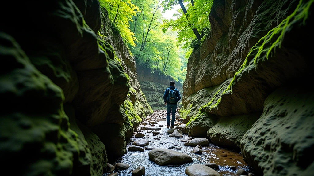
The region offers several established routes ranging from leisurely walks to full-day expeditions. The marked trails are generally well-maintained, though conditions change seasonally. Don't expect technical hiking — these trails emphasize distance and views rather than scrambling or climbing.
Žďár Ridge Circuit
The classic loop takes 5-6 hours depending on pace. You'll gain roughly 400 meters elevation over the full circuit. The route connects multiple ridge sections with forest descents between them. Most hikers tackle this counterclockwise from the main trailhead.
Elevation Profile Reality
Don't let the modest absolute elevation fool you — the rolling nature means constant ups and downs. You'll climb and descend several hundred meters throughout the day. It's more demanding than a single 400-meter ascent would suggest.
Best Seasons for Highland Hiking
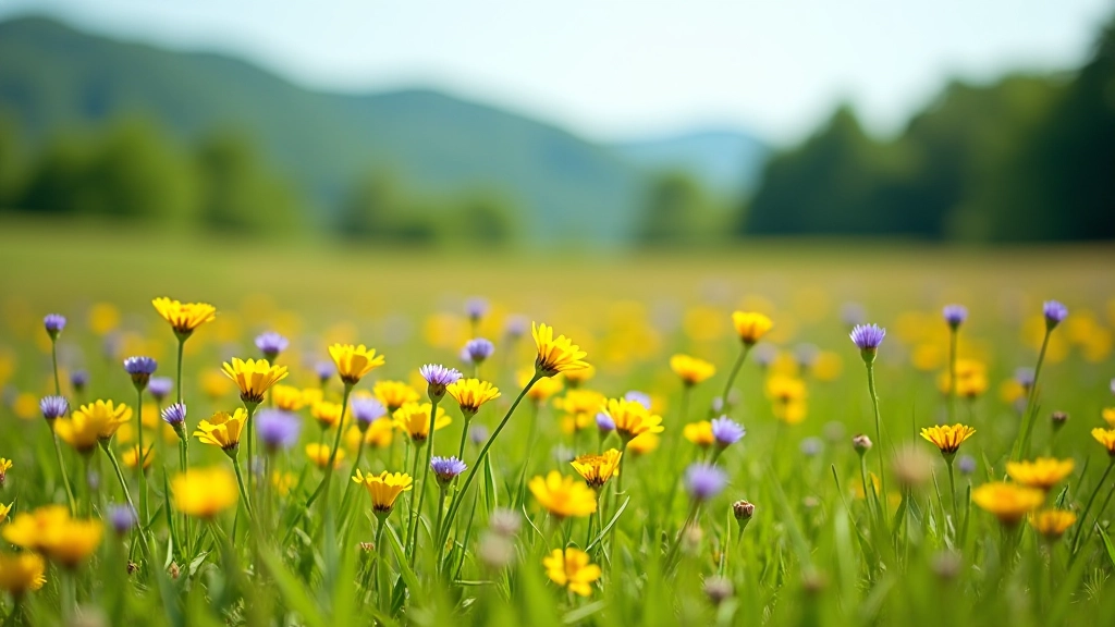
Spring arrives later at this elevation — you won't see everything green until late May. The advantage? Fewer crowds through June. Wildflowers peak in June and early July. These upland meadows burst with color for maybe four weeks, then transition to lush green.
Summer is obviously popular. July and August bring the most visitors, and yes, you'll share the trails. But conditions are reliable. The weather's generally stable, though afternoon thunderstorms aren't uncommon — they roll across the ridge quickly and rarely last long.
Autumn transforms everything. September through October delivers perfect hiking weather. The light's better, air's clearer, and those distant views expand dramatically. Crowds thin considerably after Labor Day. Temperatures drop noticeably by late October, but hiking stays comfortable until early November if you dress properly.
Winter here isn't typical ski country — the slopes aren't steep enough for serious skiing. But winter hiking is absolutely doable. Snow cover's unpredictable in lower elevation sections, though ridges stay white longer. Trail finding becomes trickier in white conditions.
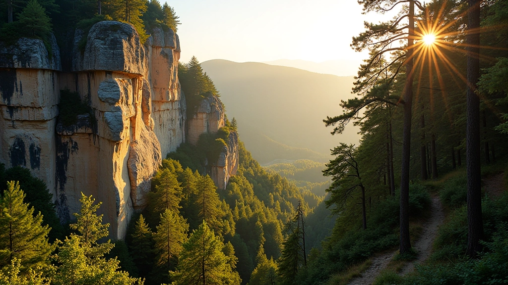
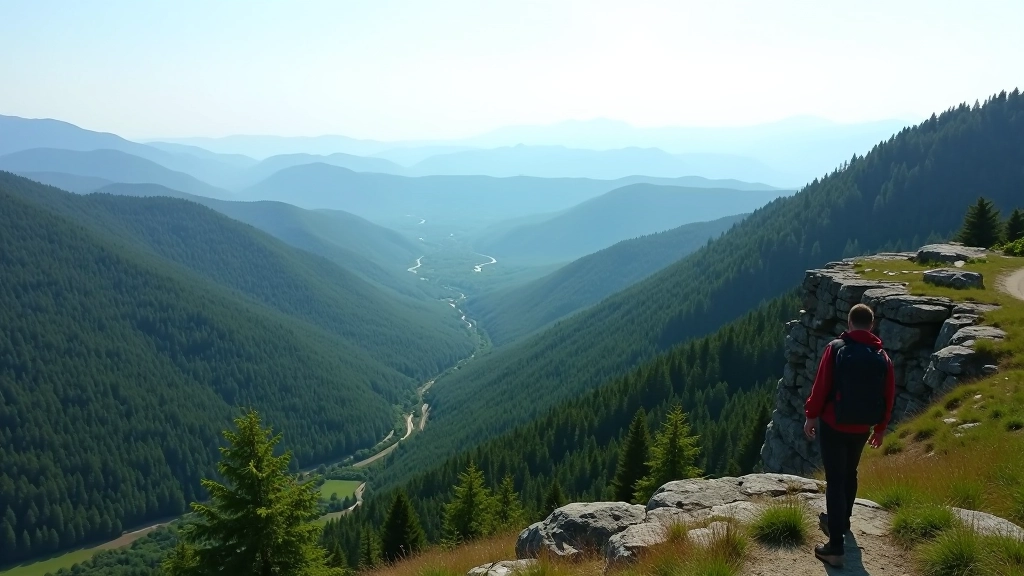
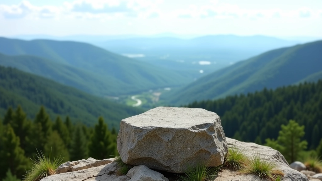
Panoramic Viewpoints Worth the Climb
Several established lookout points reward hikers with exceptional views. These aren't technical summit scrambles — they're accessible peaks with simple marked trails leading to them. Most have stone markers or simple cairns.
- Žďár Peak (728m) — The region's highest point offers 360-degree views. On clear days, you'll identify peaks across three regions. The descent on the far side reveals completely different landscape.
- Studnice Outlook (712m) — Lower than the main peak but often less crowded. The view southeast across the Svratka Valley is exceptional, especially in golden hour light.
- Jeřábí Rocks Platform (695m) — A smaller, intimate viewpoint accessible via a 20-minute side trail. Better for sunset watching than the busier main peaks.
Practical Information for Visitors
Getting There
The region's accessible by car from Žďár nad Sázavou town — roughly 20 kilometers to primary trailheads. Train service reaches nearby towns, but you'll need local transport to reach the actual highlands. Parking's available at several trailhead areas, though popular routes fill quickly on weekends.
What to Bring
Even on short routes, weather changes rapidly at elevation. Layer your clothing — mornings can be cool even in summer. Bring a windproof outer layer. Proper hiking boots are essential; trails get muddy after rain. The exposed ridges mean sun exposure, so sunscreen matters even on cloudy days.
Trail Conditions
Most trails are well-marked with standard European trail markers. However, during heavy snow or fog, navigation becomes challenging. Always carry a map or have offline maps downloaded. Cell service is spotty on ridges. Water sources exist along routes but aren't guaranteed everywhere — don't rely on finding water.
Accommodation Options
The highlands themselves have limited lodging — mostly small mountain huts with basic facilities. Most visitors stay in nearby towns like Žďár, Nové Město na Moravě, or Velké Meziříčí, where you'll find hotels and guesthouses. Day hiking is totally viable from these bases.
Highland Ecosystem and Protected Species
The protected status exists because this landscape supports ecological communities you won't find elsewhere in the region. The beech forests here display characteristics adapted to cooler, windier conditions. Tree growth is noticeably stunted compared to lower elevations — the same species grows differently up here.
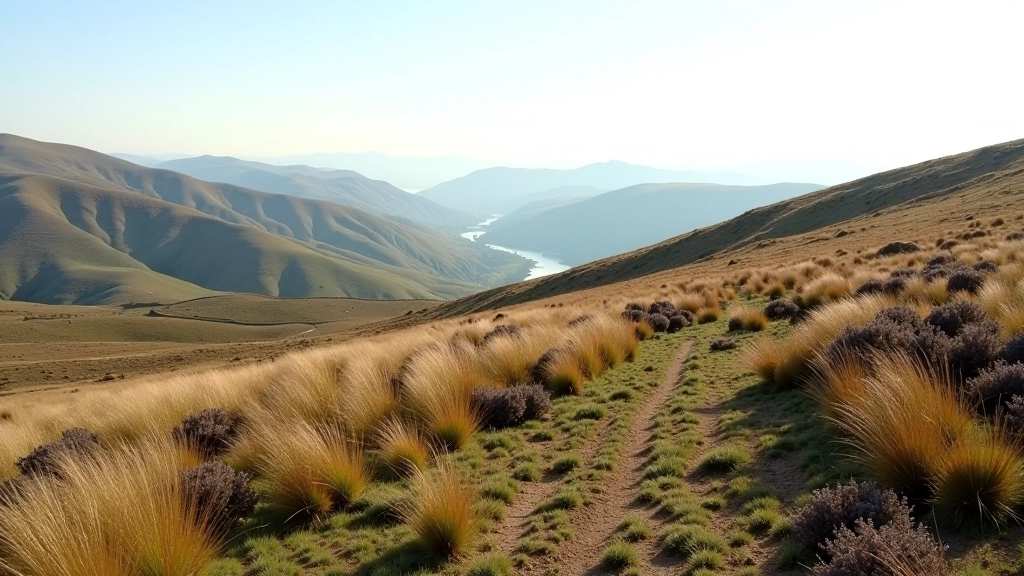
Open moorland sections represent a delicate balance. These aren't natural grasslands — they're maintained through traditional management. Without active maintenance, the forest would gradually reclaim them. This means the landscape you see depends on ongoing conservation work.
Specific plant species reach their ecological limit here. Certain mountain flowers bloom nowhere else in central Bohemia. Bird populations shift noticeably compared to lowlands — species like ring ouzels and mountain finches appear at this elevation. Insect communities are similarly distinct, with specialized species adapted to these specific conditions.
Important Information
This article provides educational information about Žďárské Vrchy and hiking in the region. Conditions vary seasonally and can change rapidly. Always check current trail conditions and weather forecasts before planning your visit. Hiking carries inherent risks — assess your own fitness level and experience. Wear appropriate safety gear, carry sufficient water, and inform someone of your planned route. Weather at elevation can deteriorate quickly; be prepared to turn back if conditions become unsafe. This information is current as of April 2026 but may not reflect all changes to trails, facilities, or access restrictions.